On the earth's surface we locate ourselves with a sort of wire netting drawn by meridians(where we find latitudes)and parallels(where we see longitudes). Meridians all meet at the poles and parallels, as their name suggests never intersect.
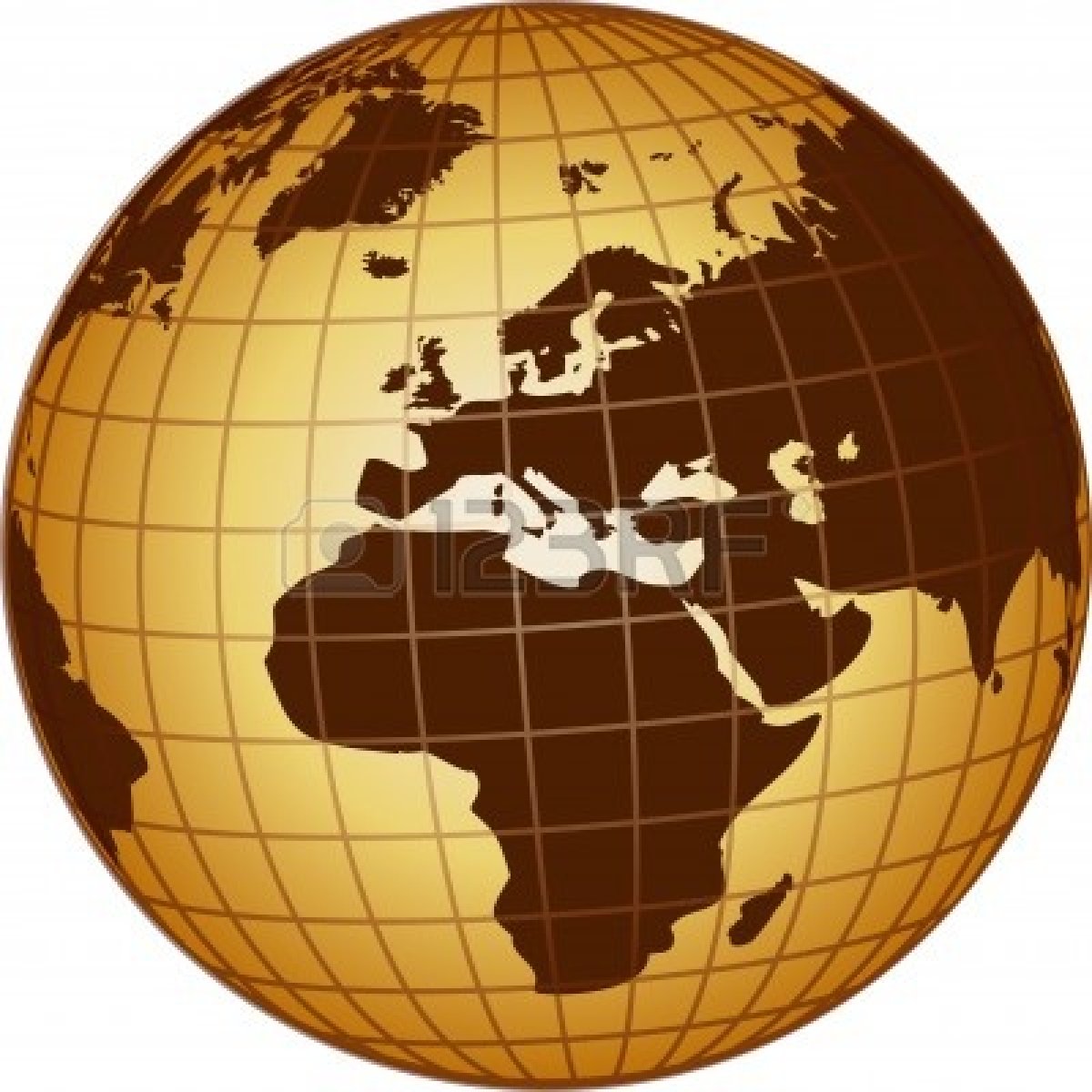
However, it is much easier to work on two-dimensional charts, so we had to find a way to get all the informations on a two-dimensional landmark.
1)Projection main idea
If we set up a little switched on light in a center's map of the world and after that a sheet of paper wrapped around the map like a cylinder, perpendicular to the equator, then parallels and meridians will be seen projected on the sheet , creating the map grid. Finally meridians will become on the sheet straight parallel lines perpendicular to parallels, a conventional Cartesian coordinate system is obtained at first sight. This is not exactly the case, because sphere deformation on the paper brings several problems:
.Representation of the polar areas is impossible.
.The map scale increases when latitude increases. This indicates that the more we approach the North or South pole, the more vertical scale(latitudes)dilates itself.
2)For navigation
For navigation we always use the latitude scale to calculate a distance, because only the latitude scale fits to the scale of the map. Latitudes and longitudes are given in sexagesimal system, degrees. As we move on a sphere distances are based on degrees, 1° = 60 minutes and 1 minute=1 mile(roughly 1852 meters)on the scale of latitudes.The earth has a circumference of 40033 km, we find this number with that:
360° * 60 minutes * 1852m = 40003200m(there is a small difference because earth is slightly flattened at the poles like an ellipsoid)
So on a paper chart we just take the distance between two points with a divider, and we look at the distance obtained on the vertical scale of latitudes for the distance in miles. The longitude scale can not be used like a distance scale except at the equator(normal, this is where the deformation of Mercator's projection is zero because here the cylindrical plan of the paper's sheet touch the sphere). There is a formula that transcribes the scale changes according to the latitude:
Distance between two parallels = Distance between two meridians / Cos(Latitude)
At the equator, the latitude=0 or Cos(0)=1, so in this case the parallels scale will be like meridians scale.
Little explanation:

On the lateral view angle alpha is the latitude of S, distance's projection d(a latitude) on the cylinder's paper gives D, and here D=d. Cos(alpha) is easily deduced from trigonometry Cos(alpha)= Adjacent / Hypotenuse so adjacent=Cos(alpha)*R=Cos(alpha).
On the top view the small circle represents the circumference of the globe at latitude S, the bigger circle represents its projection on the cylinder's paper. In this case D = 2 * pi * R / 4 = 2 * pi / 4; et d=2*pi*Cos(alpha)/4. we deduce that d = D * Cos(alpha), so D=d/Cos(alpha). We are able to say that projected distance is equal to distance between two meridians divided by Cos of the latitude concerned.
Another problem, the distances on the chart. A sphere on the shortest distance between two points is on the half circle whose center is the center of the sphere, this is the orthodromy. It intersects the meridians at different angles. A ship that would follow the same path(heading)for a while will describe on the earth's surface a kind of helical spiral which will cut meridians at equal angles, is the rhumb line. This means that on a paper map, the shortest path is not straight(rhumb line) but curved(orthodromy) a little to the north in the northern hemisphere and southward in the Southern Hemisphere. For example, the shortest way to go to New York starting from Porto will be not fully west but north-west at the beginning, and at the middle of the trip south-west. The more we will be high in latitude the more there will be differences between the rhumb line and orthodromy. At the equator they are the same. Fortunately those things have to be considered for long distances only.
Notice: on large-scale charts we have to take care about distance calculations, we have to use scale's latitudes in face with the distance concerned, because the latitude scale expands when we progress northward in the northern hemisphere and southward in the Southern Hemisphere. The reference meridian is Greenwich, longitude may be east or west(compared to the reference meridian) and up to 180 °. For latitudes it can be north or south, up to 90 ° and reference is equator.