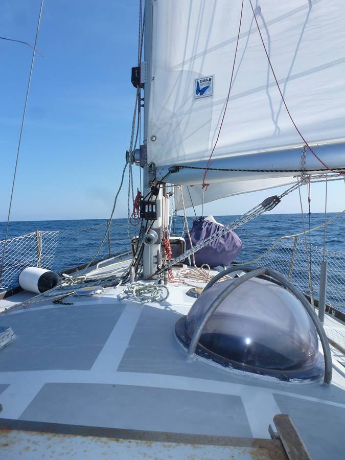
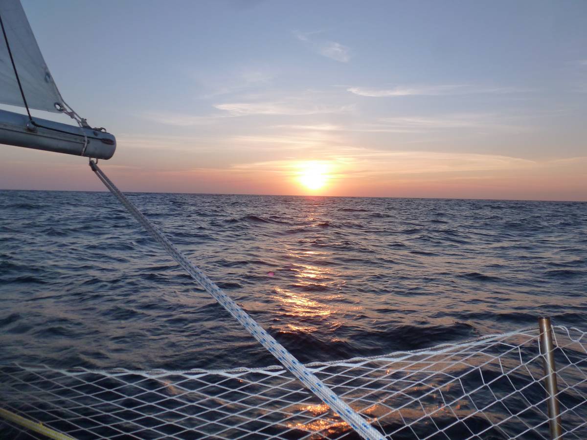
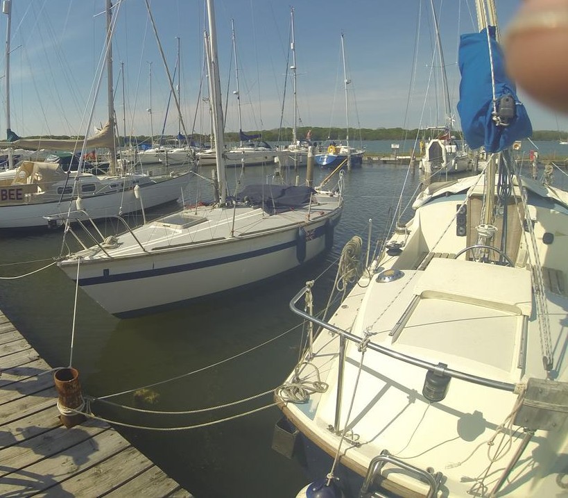
This trip is interesting because it includes several distinct areas: Southern Spain(Andalusia), Portugal, a little north of Spain(the Galice) and finally the Bay of Biscay. Each place has its own things. This navigation has been made on a weighted aluminum dinghy of 43 feet, a Kim grand sud. By chance we had a gopro on board so I will be able to show some videos!
1)The andalusia, southern Portugal
Departure inexorably passes through the Strait of Gibraltar, fairly narrow finally. The minimum width is approximately 8 miles between Tarifa(a well-known spot of windsurfing)and Morocco, identifiable by the height of the coast at this level(until 600 meters). Cargo traffic is intensive, in short it is a bit of a boulevard but along the Spanish coast there is no problem.
The best time to sail along the coast is about three hours before or after high tide of Gibraltar, when the current is very low. If you want to use currents to carry yourself to the Atlantic it will be favorable when the time will be close to the high tide of Gibraltar . About the wind for us it was quiet but the strait is mostly undergoing east winds(Levante) or West winds(Poniente) accented by Venturi effect with the Strait. In September Levante is common and can sometimes be violent. About navigation here there are no particular problems except lobster pots yet few(Unfortunately, after they multiply like flies on a ...cake full of sugar…).
For the Cadix gulf's passage, whether we choose to do small steps per day, or we pass it through in one step. It's not delightful in this area to do coastal steps by night because the place is full of lobster pots and tuna nets(exemple Barbates entry), these nets are normally marked at night but can be significantly shifted from one period to another in the year, and markup is seen a little at the last minute, especially with some swell and waves. So to win time we have reached Albufeira without step. we have then to foresee a night navigation and a steady watch for cargos, plus the Gulf of Cadiz which is an area of military exercises( nav lights can be spotted may be unusual), but along the cargos lane without committing too much into it there are no problems. Regarding on the wind starting with twenty knots downwind gradually falling to 10 knots in the night to finish miserably in a dull close to Faro.
(Notice: the Imray guide(very good book)Spain/Portugal, it is written that Albufeira is easy to find, with a night entrance recognizable by an occulting light with a range of 11 Miles. Yes but not in fact the coast at night is lit like a christmas tree, and this lighthouse is really visible 2 miles away, all in cushy conditions of visibility! After that maybe the lighthouse was not working properly at this time. The waiting pontoon in front of the marina's office, just after the dam tend to smurf it is not terrible to stay here for the night.)
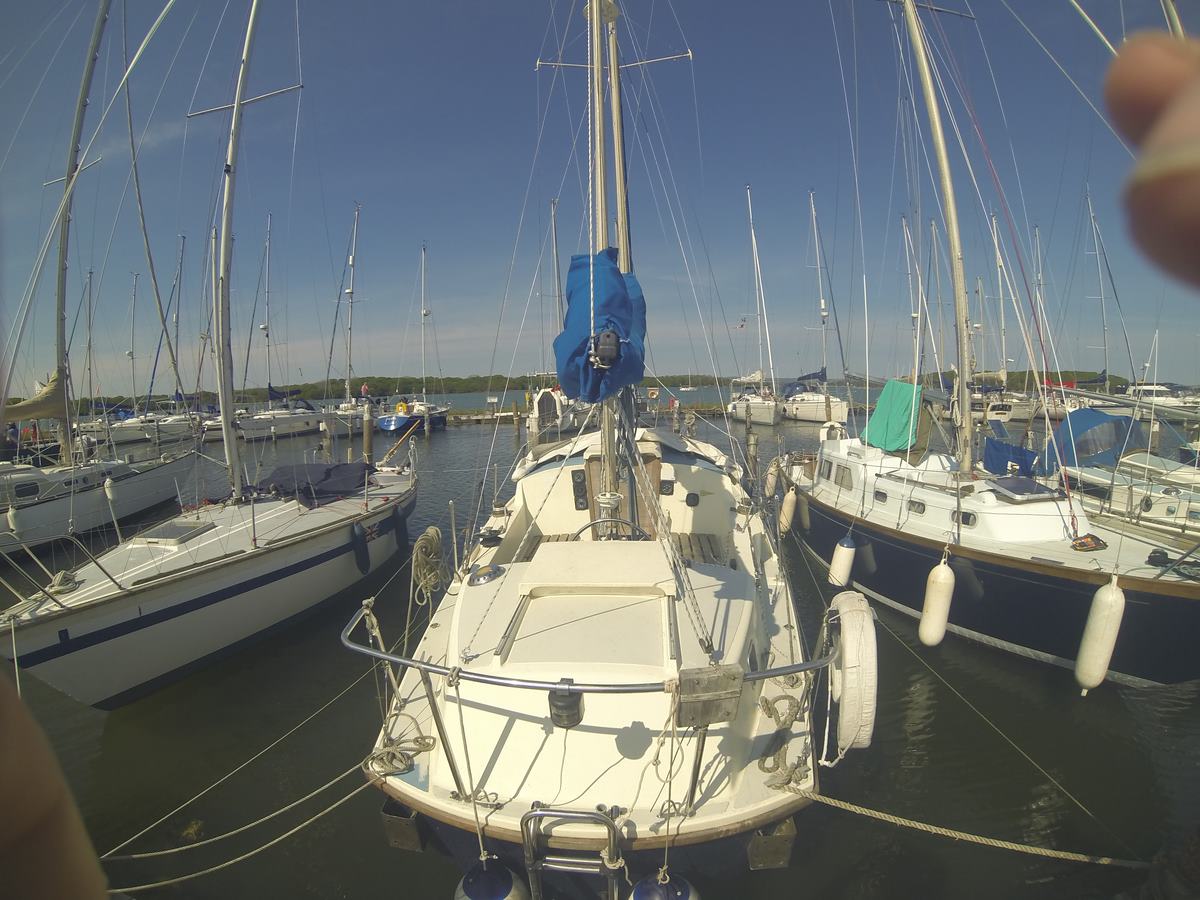
(notice: in southern Spain and Portugal it is usual to moor at the pontoon's office first to register(boat papers, identity card…The process takes about half an hour each time), and after taking a place in the port. There are a lot of controls in those surroundings.)
Then from Albufeira to anchorage area of Saint Vincent's cape there is no particular problem except lobster pots increases; even with a line of sounding superior to 60 meters we crossed it steadily. This anchorage area is sheltered from northern winds, Northwest winds(Nortada). During the Portuguese trade winds it is not bad to leave that place very early in the morning before the Nortada become too strong.
After passed through Saint Vincent's cape, conditions which were until now mostly Mediterranean (Poniente, Levante, thermic wind)change.
2)Portugal, Atlantic side
It's changing with northern winds the most of time(Portuguese trade winds from April to September roughly), with far fewer ports or shelters available. high and rough waves may come at the entrance of some ports by westerlies(the sea bottom rises quickly when we are approaching the coast, so we find a lot of surf's spots here), So in this case inaccessible because too dangerous. Some ports like Cascais(we'll talk about after), Nazaré and LEIXÕES are accessible even in strong wind from the sea. As coastal relief is low enough(many beaches)the thermic breeze plays a very important role; it develops in the afternoon and then is added to Nortada(thermal breeze rotates to the right during the day). In addition, the water temperature is very cold(12/13 degrees )and the earth is still heated in september, we must expect good anemometer rises at the end of the day because of the thermic breeze. It is best to leave very early in the morning when we go to the north.
Close to the coast fishing traffic is present, small boats and trawlers, fishing lockers(can still be found in 80 meters depth). You really have to keep a careful watch. I do not know why but about the reception in nav, phones didn't receipt like our internet key even close to the coast; to take the weather on vhf it is useful to have a small recorder it is not bad(weather forecasts in English with Portuguese accent…)or navtex best, or even a blu. There are not many reruns of weather forecasts on the vhf…
(Notice: cold water and intensive fishing caused by the presence of fish is due to the upwelling of the Portuguese coast, very present in late summer because of the Portuguese trade winds that hunt the warm water's surface, bringing then a cold water rise from the depths, full of nutriments, causing plankton, fish, and therefore fishmongers and also many dolphins(we crossed dolphins every day there).)
Navigation between Cape St. Vincent started well with an east wind of around fifteen knots until Setubal, then good calm. After a night with the engin wind began to rise, still east sector but veering north quickly during the day and increasing. In Lisbon's bay at the first buoy when it was the end of afternoon wind has finished to be at 35 knots close hauled(northwest wind) with gusts until 45, so we have called at Cascais(a good shelter for north winds, an easy access)because the mainsheet has snapped and the sea bottom rises quickly at the Tage entry, so it may bring a rough sea with a strong wind from west. Navigation has finished with the storm jib added with engine's power, in a relative joy roughly.
Due to Portuguese trade winds still active and our kind of boat(ballasted aluminium dinghy 9 tons, not ideal to be close hauled)we had to hanging around a short week in Cascais until a good weather's window. This port is rather expensive, however there is an anchorage area close to the entry. But it is poorly sheltered from the thermic breeze, it is better to do a good mooring, and link a little line with a little buoy on the anchor.
The rest of the route was made easily mostly with the engine unfortunately due to low wind from the north, even no wind places until Leixoes(next to Porto). Still some fishermen, lockers and for navigation without Berlenga's island at Pénichet there is no specific danger. It reminds me that we have filmed Nazaré:
If I remember correctly access at Porto's marina was not lit at night, so as I didn't know the area I have decided to go to LEIXÕES, a little further on north with an easy access(just take care of the rock next to the port breakwater, but easy to avoid). Not very funky regarding on the landscape but an opportunity to drop the anchor close to the marina's entry whether there is not too much boats. Navigation until Baiona has offered us one of our last delightful weather to sail.
3)The galice
After the Portugal we may sail in little steps again, in rias which offer a lot of shelters. The coast before almost straight become more chaotic so we are able to work on the chart table . we have to take care about currents in rias which increase depending on its width, and visibility is reduced with a milder weather(at this season there is a lot of fog here). The entrance to go to Baiona is simple but at night be careful trawlers are very present in that place, and also fish lockers.
(Notice: At Baiona there is a replica of the Pinta, one of the ships of Cristopher Columbus travel. Don't worry there are pubs too)
a small video of Baiona's cove exit:
From Baiona to Corunna there is a lot of fishermen, mostly large trawlers fishing by two with a net between them. There are also cargos for our greatest pleasure. About the weather, squalls due to a cold front's passage, So at night we had to take care about visibility losses and gibes because of rain and gusts(not too bad to use a boom brake).
4)Biscay's gulf
Several opportunities to cross it, either you leave directly from Corunna, or you continue along the north of Spain to cross later(Gijón for example)to shorten the distance to cross the Gulf. The problem is that the more you go deeper into the gulf, the more you will have less chances to meet wind, and more chances to find chaotic swell. In addition the wind sector here is mostly from west, we may expect to reach our heading a little bit leeward of the original target. We have chosen to follow the shortest way to reach Concarneau because weather forecast were fair(20/25 knots west south west). The disadvantage is that all the ports of France are equidistant from Coruña, therefore there are no short cuts. The straight way is about 350 miles roughly.
In the Gulf we must keep an eye on cargos(including Nantes surroundings)and fishermen, the sea becomes messy above the continental shelf edge(Spain at the beginning and France then), it rocks a little with the sea bottom that rise quickly.
About us departure has been quiet 3 until the third hour, and has increased quickly from west during the evening and night.
During the night the wind has still grown but we have stayed canvassed like the beginning(we were downwind and beginning's calm has annoyed me)so we had to spend time on the helm to reduce the automatic pilot consumption . It was a mistake because that point of sailing and the weak visibility wasn't helpful to feel wind's strength, finally we have snapped the mainsheet's shackle during a gust. while we have dropped and furled the mainsail wind has increased again, so we have finished without any sail. We could have continued on storm jib forehead even with reefed solent but we would have to gibe steadily on our way, in fact it was pretty cool despite the gale our boat was downwind adjusted on the good heading without any sail, perfect to take a nap, with a surface speed of 7 knots(a big thanks to our inflated dinghy linked astern useful for its dunnage).
The wind has decreased the day after, Always western sector(Solent and one reef in the mainsail). The next night we have had a delightful surprise with a series of storming squalls, ideal to practice about how to take or shake out a reef all the night, less ideal to reduce tobacco consumption but the wind was still in the good sense for us(west). Finally the last day a nice and steady weather downwind under genoa and all the mainsail.
Before Concarneau we had to take care about Glenan archipelago, so we have used a line of sounding to avoid it southward, after this there is a lot of marks(cardinal buoys and towers, antennas).


 e
e